Maryland Creek Ranch Builders / Contour Logic
OVERVIEW
Sky Summit Ranch is a 416 acre development planned for 240 homes, just north of Silverthorne, CO. Maryland Creek Builders hired Contour Logic for design, and construction oversight of a 3 mile trail around the perimeter of the development. Gumption Trail Works was recommended by CL for construction.
GOALS
As a trail development constrained to a relatively narrow corridor in a neighborhood of single family home, there were several unique challenges:
- Accommodate a wide variety of users, with the expectation of extensive use by neighborhood residents.
- Hold up in a variety of conditions, including substanial snowmelt.
- Trail alignment had to be determined after many of the building plots were already laid out. The remaining areas for Open Space crossed through extensive wetlands areas, often at steep grades.
METHODOLGY
Gumption Trail Works utilized a variety of hand, and machine construction techniques to deal with the varied challenges of this project. Methods of trail construction included:
- Bench cut trail – both hand and machine built
- Imported crown tread
- Causeway
- Bridges & boardwalks.
METHODS OF CONSTRUCTION:
Causeway
Much of the open space dedicated for trails followed a wetlands drainage, necessitating the use of causeway construction to raise the tread above the groundwater level (especially following snowmelt).
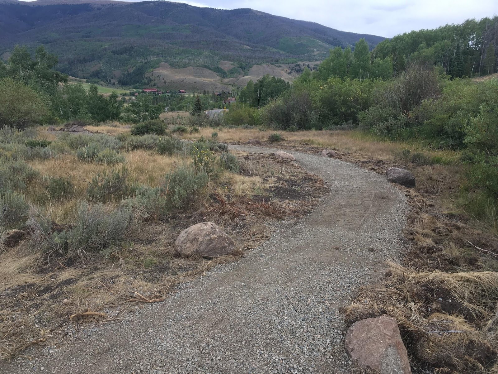
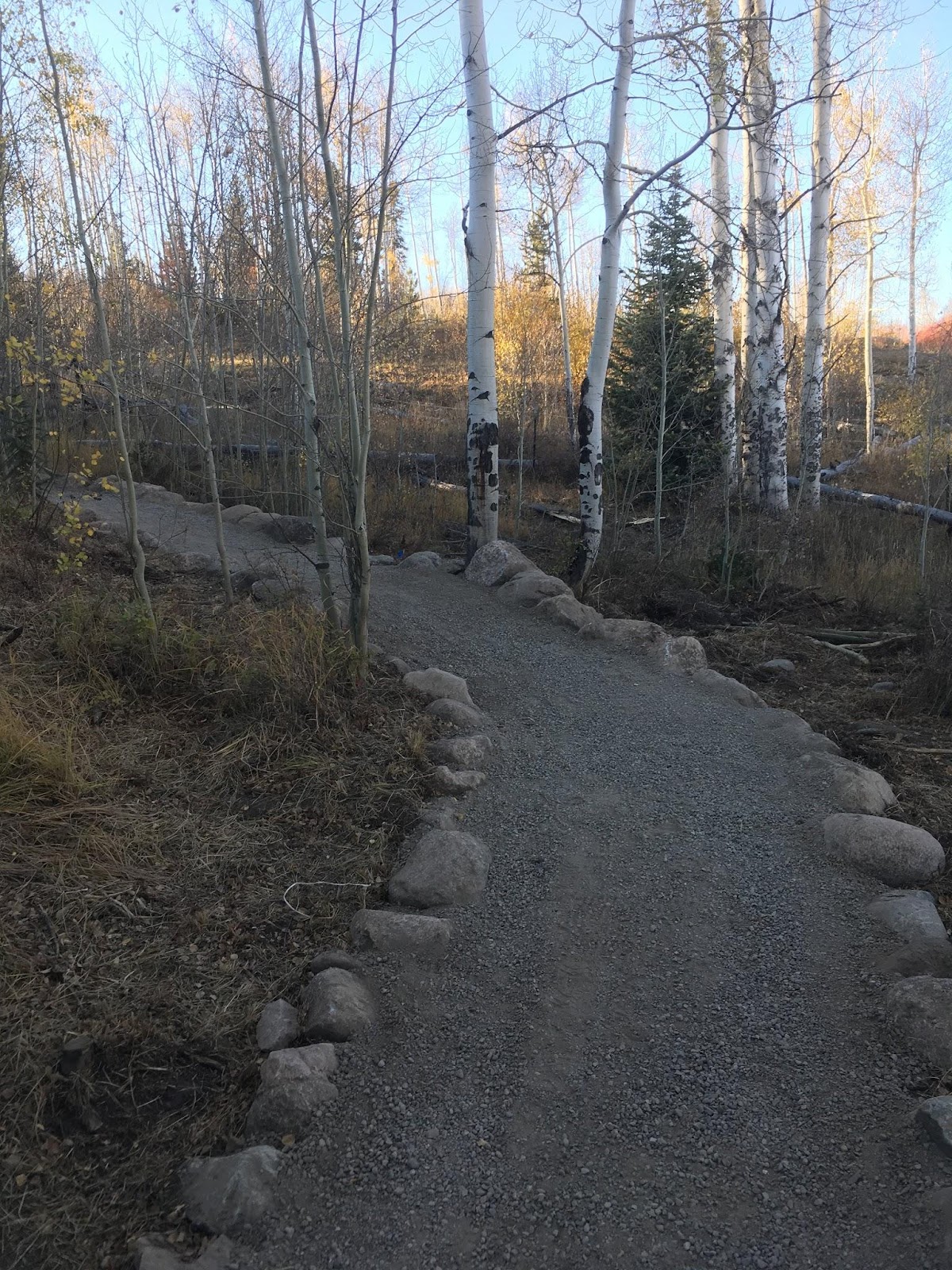
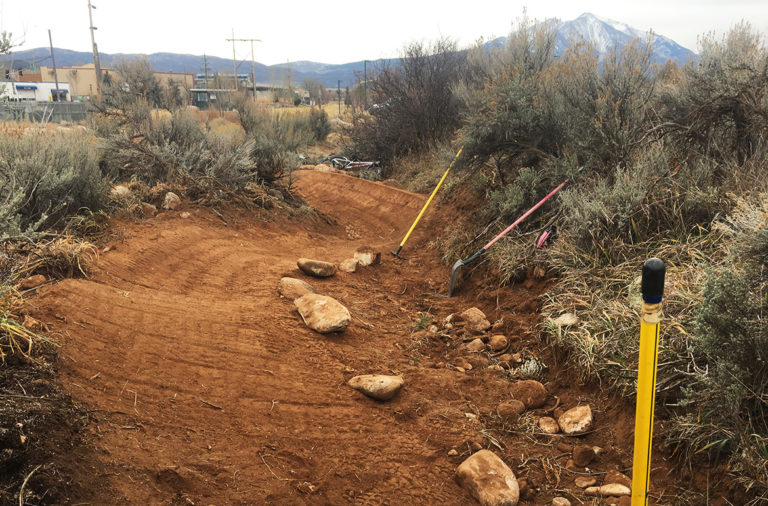
Raised Crown Tread
In areas at the edge of the wetlands (note transition from sage to willows) where high levels of soil moisture were anticipated, road base material was hauled in to raise the trail tread above the surrounding grade. Boulders were embedded at the edge for traffic calming, and visual interest.
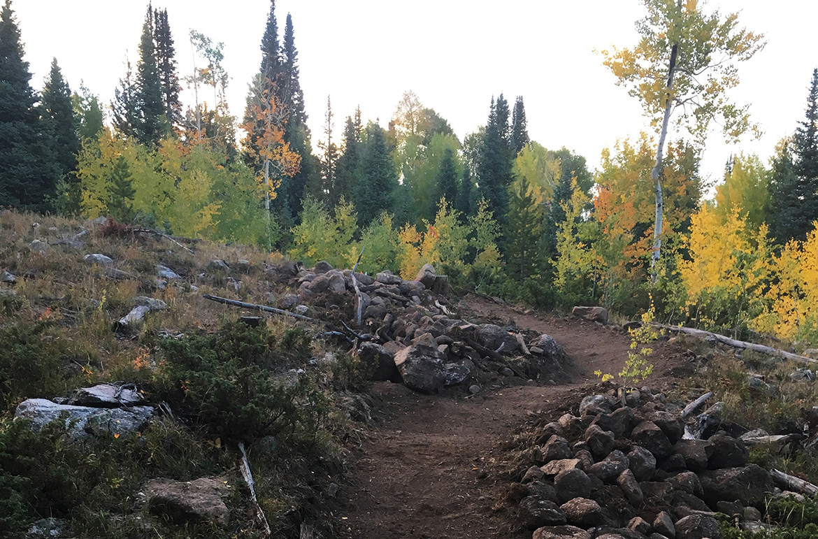
Benchcut
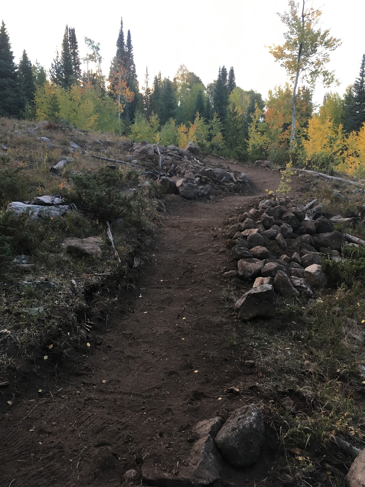
Corridor alignments frequently pushed 10% grade, which required utilizing as many aspects of the topography as possible to accentuate grade reversals.
Bridge & Boardwalk
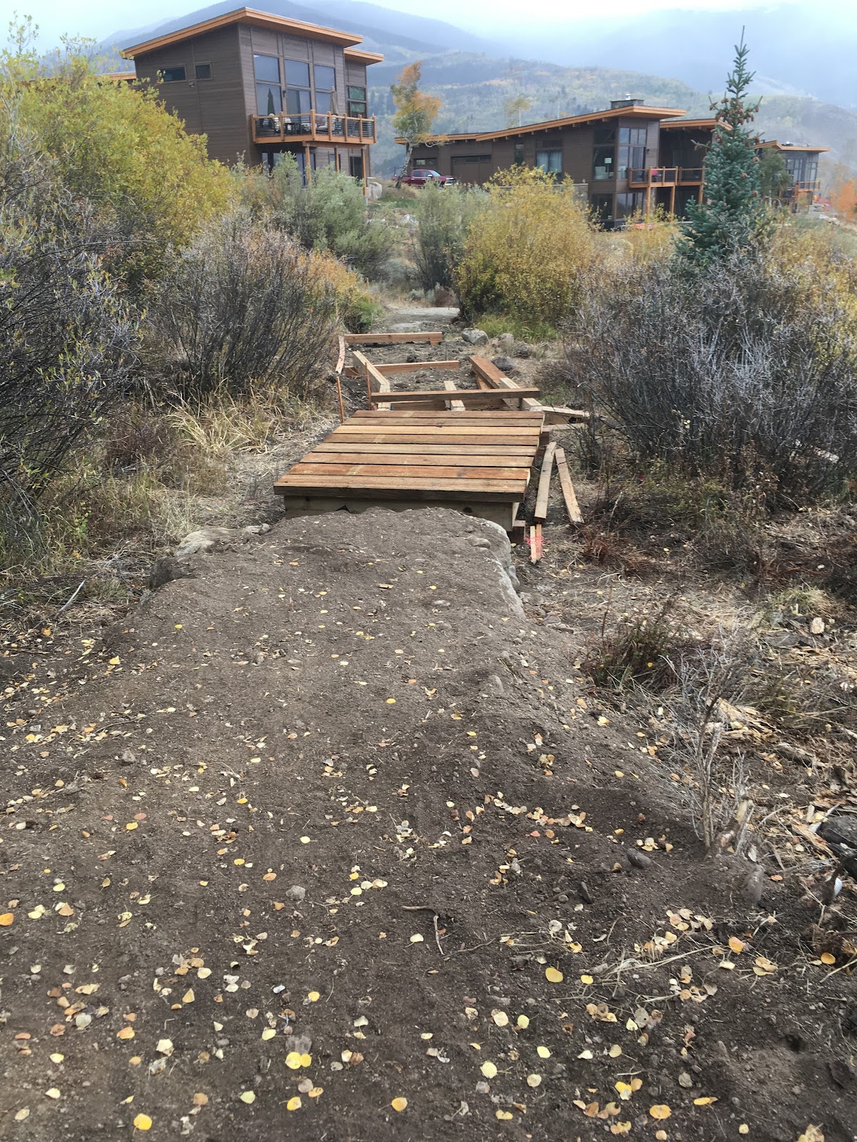
Several crossings of running water, and wetlands drainage areas required bridges. Pictured above is a 6’ x 50’ boardwalk. Gentle undulations, and slight curves were employed to mimic the topography, and control user speed. (A downhill turn leads to the causeway transition in the foreground). The large boulders anchoring the transition to the boardwalks provide an additional measure of speed control.
You May Also Like
Ridgway, CO Pumptrack
15 March 2019
Rio Grande / RFTA
15 March 2019


